Determination of speed and direction of wind
Determination of speed of wind between two points
- In each point where the MTP-5 takes measurements, we will determine a profile of atmospheric pressure by the known temperature profile In more detail ....
For determination of atmospheric pressure it is necessary to set entry conditions :- - As entry conditions to use the standard atmosphere.
- - As entry conditions to use measurements in a basic point. This approach will allow to provide more exact calculations.
- At each height on the known baric gradient according to
https://en.wikipedia.org/wiki/Geostrophic_wind we will determine geostrophic wind by a formula :,
where - - horizontal baric gradient - - density of damp air, - = 7.2921*10-5 sec-1, radians per second
- angular speed of rotation of Earth, - - geographic latitude, - - speed of the geostrophic wind (without friction). - According to the geostrophic wind, known at each height, we will define the actual wind (http://elibrary.sgu.ru/uch_lit/119.pdf (page 21) ).
- Then we will define the direction of wind (Прогноз ветра.pdf).
Speed sensing of wind when mounting the system "from scratch"
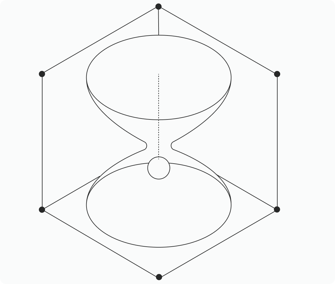
- For determination of speed and the direction of wind it is necessary to realize the scheme submitted in fig. 1.
Figure 1
- So, we have two vectors of speed - from a basic point to the north and from a basic point to the east. Further we will find the vector sum of these two vectors, it also will be a required vector of speed.
Determination of speed of wind in case of embedding
in already available network of MTP-5 devices
- We have three MTP-5 devices installed in three carried points. The basic point is CAO, two others - MSU и Moskomekomonitoring.
- We find wind speed vectors on the directions CAO - MSU and CAO - Moskomekomonitoring. Further we find the vector sum of these vectors. Difference from the last way consists that it is in addition necessary to define distance between points and the azimuths of corners of vectors connecting points. It is also necessary to define projections of these vectors to the horizontal plane since heights of all three points above sea level differ.